New Haven Comprehensive Plan Info
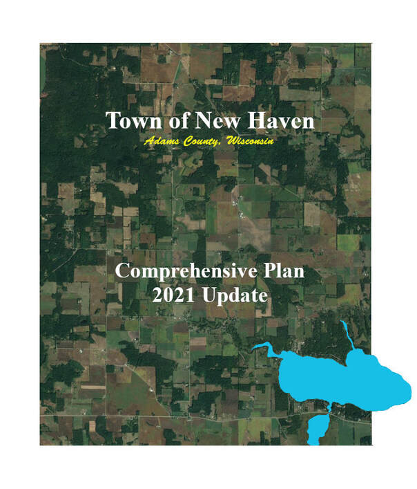
The New Haven Comprehensive Plan was created by State requirement, was approved in 2005, updated in 2011 and updated in 2021.
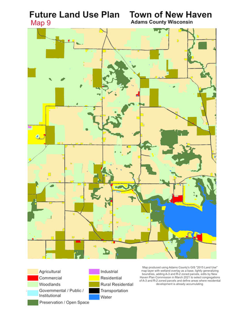
One important component of the Comprehensive Plan is the Future Land Use Plan map, which is to guide which types of land use are appropriate for which areas of the Town. This same map is also a key component of the New Haven Land Division Ordinance.
One important component of the Comprehensive Plan is the Future Land Use Plan map, which is to guide which types of land use are appropriate for which areas of the Town. This same map is also a key component of the New Haven Land Division Ordinance.
Current New Haven Comprehensive Plan - 2021 Update
| nhcp2021update-final-compressed.pdf |
Future Land Use Plan map from current Comprehensive Plan